Wrasseling with the Passel

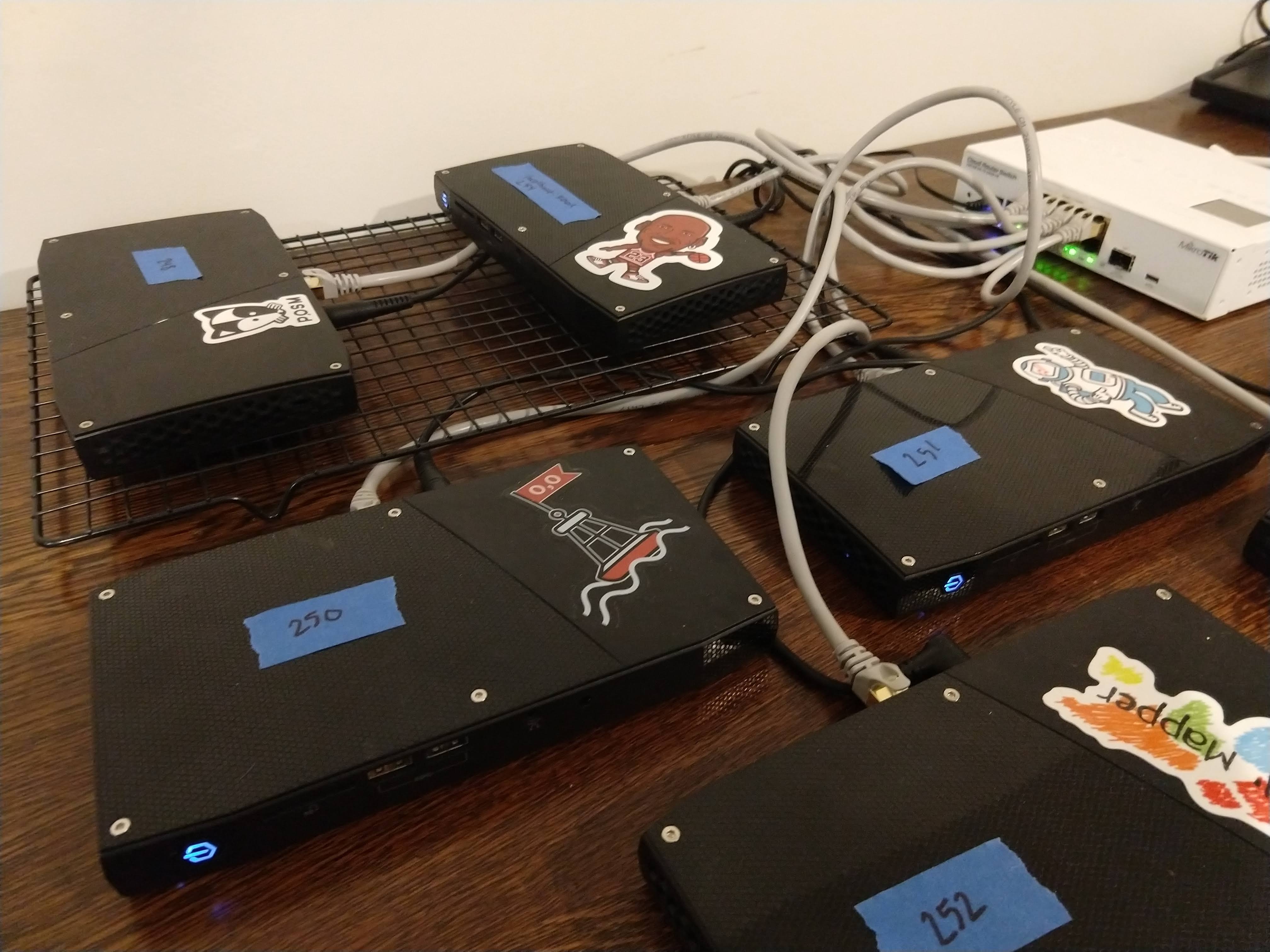
American Red Cross International Services Division continues their development of Portable OpenStreetMap, or POSM, in the latest 0.9 release. The concept is simple: use the full ecosystem of OpenStreetMap tools and sibling projects to deliver better geospatial data for aid and recovery wherever Red Cross goes.
In the case of integration of OpenDroneMap, the challenge has been one of compute power: how does one, for example, travel to a response in the Philippines, collect all the aerial data, and deliver those data to partners before departure?
The new answer? A passel of POSM. Well, we won’t do the story justice, so we’ll link out to the post:
https://americanredcross.github.io/2019/08/07/posm-9-release/
(Photo credit: https://mousamwaylandtrust.org/2018/12/20/the-possum/)
11