ODM
Open Source Toolkit for Processing Aerial Imagery
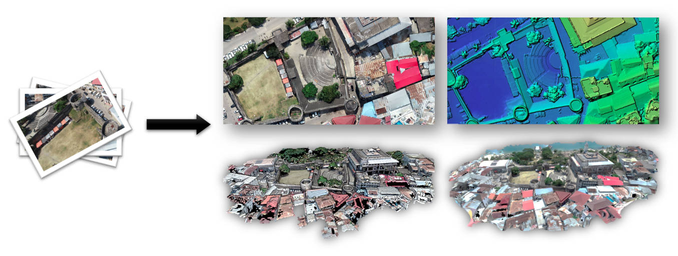
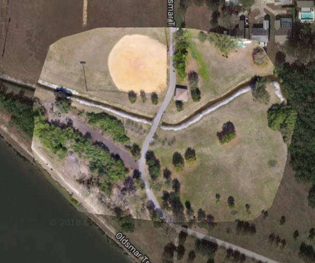
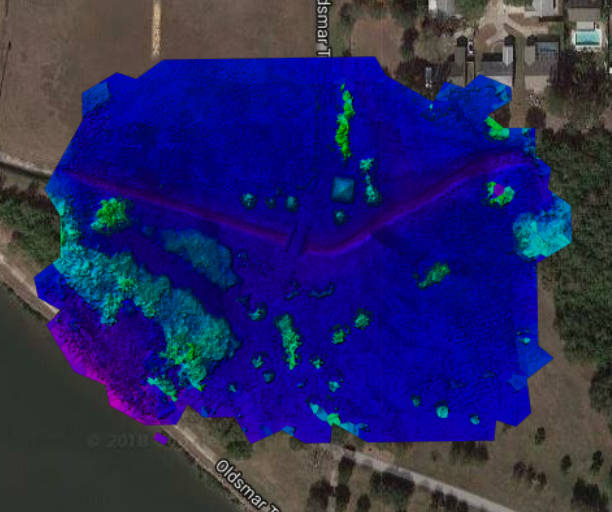
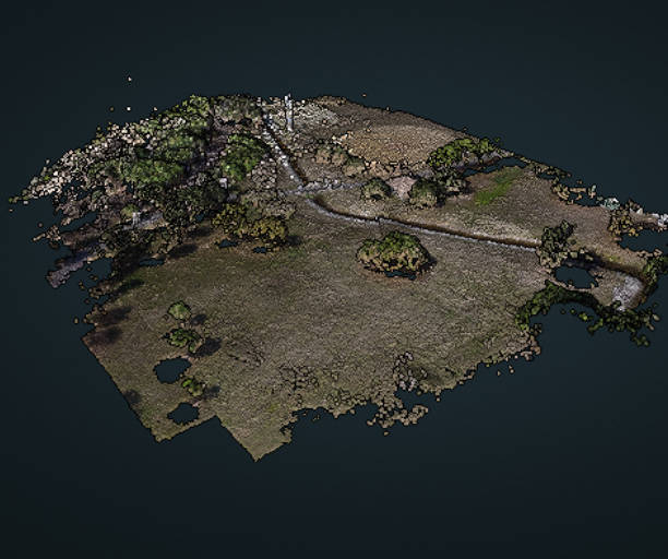
ODM turns simple point-and-shoot camera images into two and three dimensional geographic data that can be used in combination with other geographic datasets.
In a nutshell, it’s a program that takes images as input and produces a variety of georeferenced assets as output, such as maps and 3D models.
To Get Started
If you have Docker installed, place your JPGs in a folder named “images” (for example /my/project/images) , then simply run:
docker run -ti --rm -v /my/project:/datasets/code opendronemap/odm --project-path /datasets
Supported Inputs
- JPEGs
- TIFFs (8 and 16bit)
- Ground Control Points
Supported Outputs
- Orthorectified Imagery
- Digital Surface Models
- Digital Terrain Models
- Textured 3D models
- Classified Point Clouds
ODM runs on all major platforms (Windows, Mac and Linux) when using Docker. It can also run natively on Windows. See the releases page.
For information on running ODM and parameter tuning, visit the documentation page.