WebODM 0.8.1 is out! Improvements and Task Imports.
Originally posted on https://www.pierotoffanin.com/2019/02/webodm-0-8-1-is-out-improvements-and-tasks-import/
Today we’ve released version 0.8.1 of WebODM. It features several improvements including:
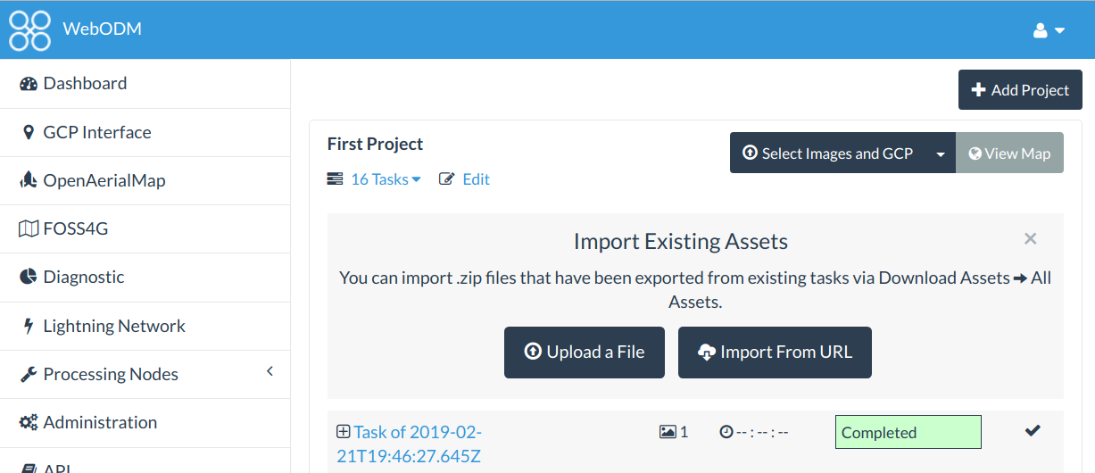
- Ability to import tasks that have been processed on another WebODM instance (or via webodm.net or NodeODM).
- Custom TMS/XYZ basemaps and no basemaps toggle.
- Review step prior to processing a dataset, which should reduce mistakes when creating a new task and selecting the wrong node or options.
- New UI colors.
- Simplified process for starting a development environment (deprecated the devenv.sh script in favor of a –dev flag to be passed to webodm.sh)
- Volume measurement bug fix for iframes and public links.
- Export volume measurements! This was probably overdue, there was no way to export the geometry / volume calculation results out of WebODM. Now you can!