OpenDroneMap in Côte d Ivoire for UR Afrique de l ouest et centrale and State of the Map Africa
(reposted from https://smathermather.com)
I had the pleasure a couple weeks ago of attending the sibling conferences Understanding Risk West and Central Africa and State of the Map Africa in Côte d’Ivoire (Ivory Coast) a few weeks ago. It included a nice mix of formal discussions of how to reduce risk in light of climate change, as well as discussions of all aspects of OpenStreetMap efforts.
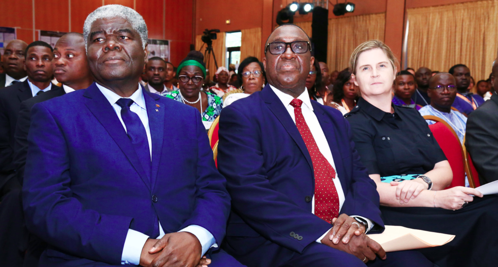

The conferences were hosted in two locales: one in Abidjan and the other in Grand Bassam, with a day of overlap of the two conferences in Abidjan.
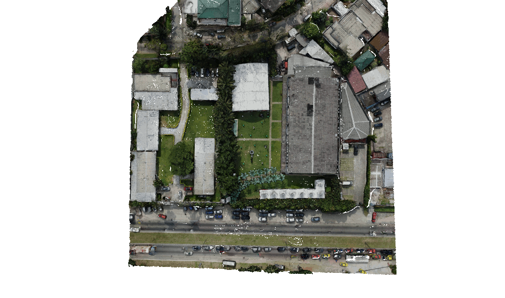
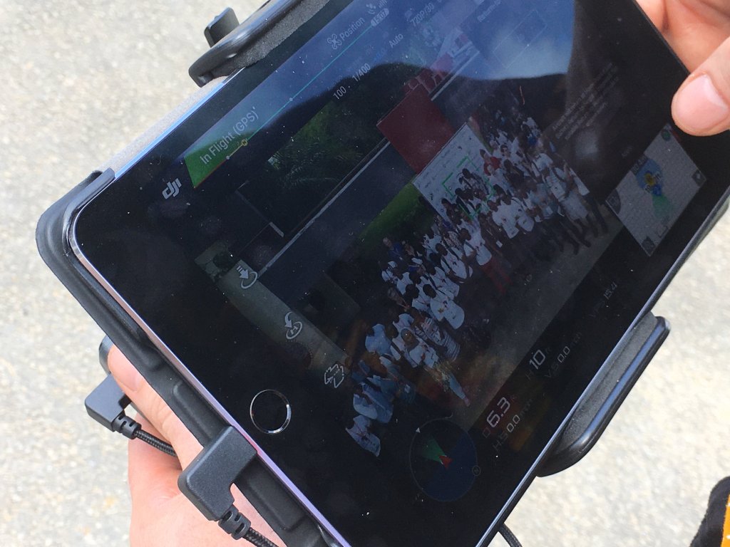
Cristiano Giovando of Humanitarian OpenStreetMap Team and World Bank Global Facility for Disaster Reduction and Recovery, Olaf Veerman of Development Seed, and I (Stephen Mather, Cleveland Metroparks) led a workshop on drone mapping for resilience and focused on a workflow that went from flying, to processing, uploading to OpenAerialMap, and digitizing in OpenStreetMap. It went seamlessly and some of my jokes even translated well into French for the Francophiles in the workshop.
Dancing credit Tshedy Thobei & Faneva Andriamiadantsoa
Plenty of dancing occurred at the end of the days of hard work, and throughout the rest of the conferences I led drone demos and discussed approaches to drone mapping at breaks.
All the data can be found on OpenAerialMap.org, of course…