Better 3D all the time
Recent posts have detailed the improvements in the digital elevation products from OpenDroneMap that are forthcoming, and we are really excited about those.
That code is now relatively mature and likely usable for your use case, with only a couple of caveats:
- The first caveat is that the processing for point clouds takes 3-4 times as long. That said, the quality is so much better, I feel comfortable with calling that a feature, not a bug.
- The other caveat is that the code doesn’t yet respect the “–max-concurrency” parameter. It will use every processor you have, whether you want it or not. We will be fixing that before we merge it in with the master branch.
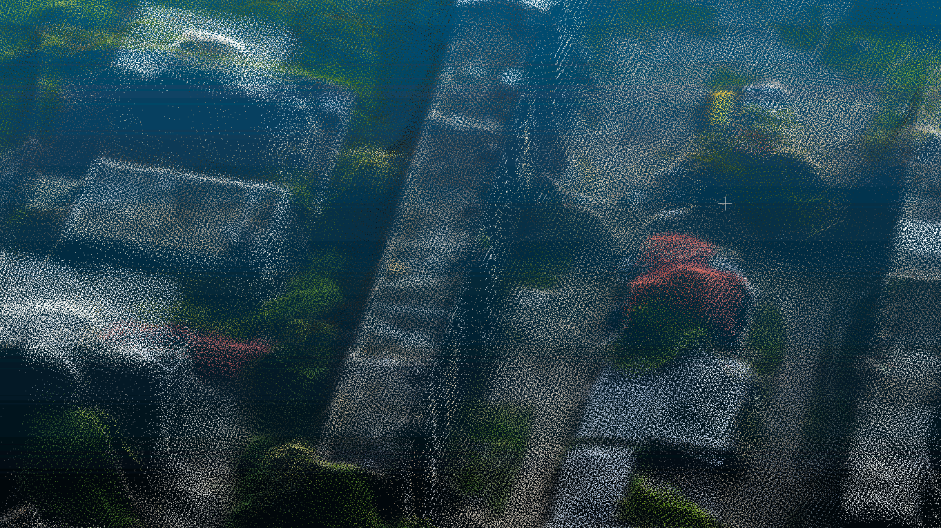
Those caveats aside, the quality of what we get in an elevation model is almost incomparable, and the memory footprint for the dense point cloud step that we improved is 60% what it was, so processing larger datasets should become easier. Finally, while better and more detailed, the total number of points in the point clouds is decreased (about 1/3 to 1/4 the size), which may help the speed of subsequent steps, although I will confess this is an untested theory. Interestingly, even though there are fewer points, they are better distributed, so it looks like more points.
68