Stitching Historical Aerial Images From 1940 Using OpenDroneMap
During the recent OSGeo Code Sprint hosted at the University of Minnesota, we had the opportunity to learn more about the university’s effort to preserve some historical archives of aerial imagery.
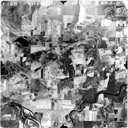
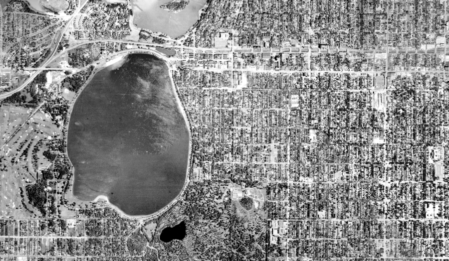
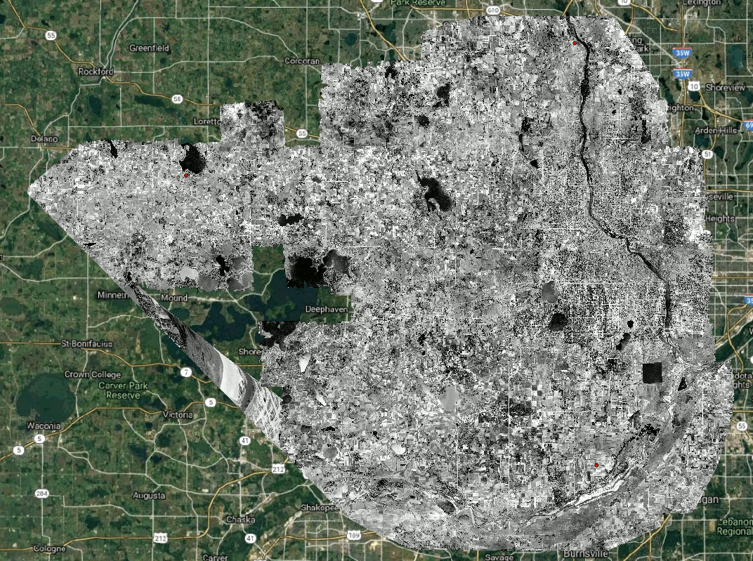
We put our eyes on an old 1940 dataset of Hennepin County, Minnesota. The images are overlapping by about 20-30%. There’s also paper tears in many of the scans. We had never tried this before. Would it be good enough for ODM to process? We had to find out.
We quickly put together a script to download some of the images from the University’s online archive, add EXIF tags to the images and send them to ODM using the –fast-orthophoto option, which works well for high altitude flights and datasets with little overlap. We didn’t know what to expect. But a few hours later, when we saw the results, we knew it had worked!
Code available at: https://github.com/pierotofy/historical_aerial_downloader
GeoTIFF: https://drive.google.com/open?id=18UhkAR5jggOtgNvBzadEz-P-bymu14_m
Images credits to the University of Minnesota.
30